Picture from an earlier march
Date: 25 Jun 2013Start: The Marcolet houses, Crissier, 0745h
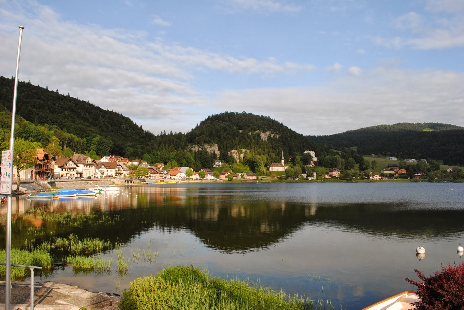
End: The shore of Lac de Joux, Le Pont, 1825h
Distance 31.6 km; Elevation span 794m
Highest elevation: Col de Mollendruz 1187m
Elevation profile
Localities: Crissier / Bussigny-près-Lausanne / Bois-Gondou / Vufflens-la-Ville / Gollion / Senarclens / Chavannes-le-Veyron / Cuarnens / Mont-la-Ville / Le Pont (town in L'Abbaye commune)
Natural landmarks and towns
The catholic church of Saint-Pierre, Bussigny (earlier march)
From Bussigny looking to Bois-Gondou (earlier march)
Where a passing gramps called me out and said, laughing: "Paris is in the other direction!"
No luck there, gramps.
The edge of Bois-Gondou
I realised that the Route Cantonale was not pedestrian friendly.
Never mind, I took a detour. The detour was also pretty dangerous and illegal.
Bois-Gondou inside
A place where you greet everyone you see, the perfect EPFL antidote
A big slug.
Crawling out of Bois-Gondou, going to Vufflens
Got out of Vufflens, going to Gollion.
Organic Farmer's market spotted.
I had forgotten to take a picture of Vufflens from the inside
Goats coming to bother intruders
You have no idea what it was like to have nothing between you and those cows
Wordless staring
Senarclens.
Not much to do here, also not many people.
Where were all the people?
A patch of sun.
In the town of Cuarnens.
Going into Bois-Sainte-Marie
Bois-Sainte-Marie also has a pilgrimage route
Lausanne is by the lake
Now I was in the mountains
Don't park tanks in the Juras!
The highest point
Almost there
Very handsome slug
Cows near Le Pont.
Here around 4-5 pm, the feeding time
Cows crowding around the paths
I had the nagging feeling that they would charge at me, but they moved aside politely when I came
then stared at me as I moved through the herd
Their bells made a terrible din, like a gamelan apocalypse
Legs on fire at this point, but very happy
A reward for the 32km long walk
Le Pont
This way is home (by train!)


.JPG)
.JPG)
.JPG)
.JPG)

.JPG)
.JPG)
.JPG)
.JPG)
.JPG)
.JPG)
.JPG)
.JPG)


